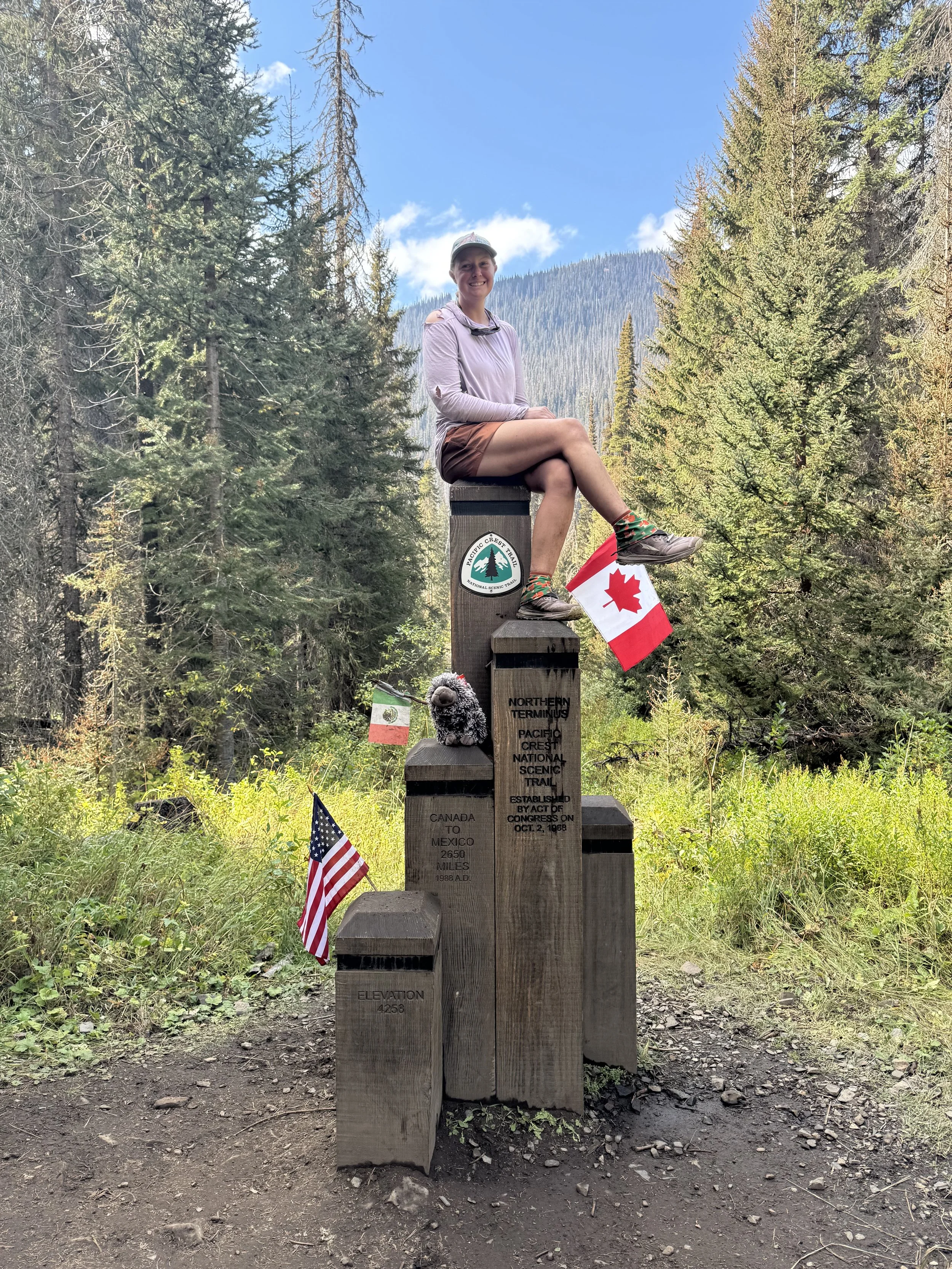
Miles 568-697 on the Arizona Trail
Flagstaff to Grand Canyon South Rim part 1 of 2
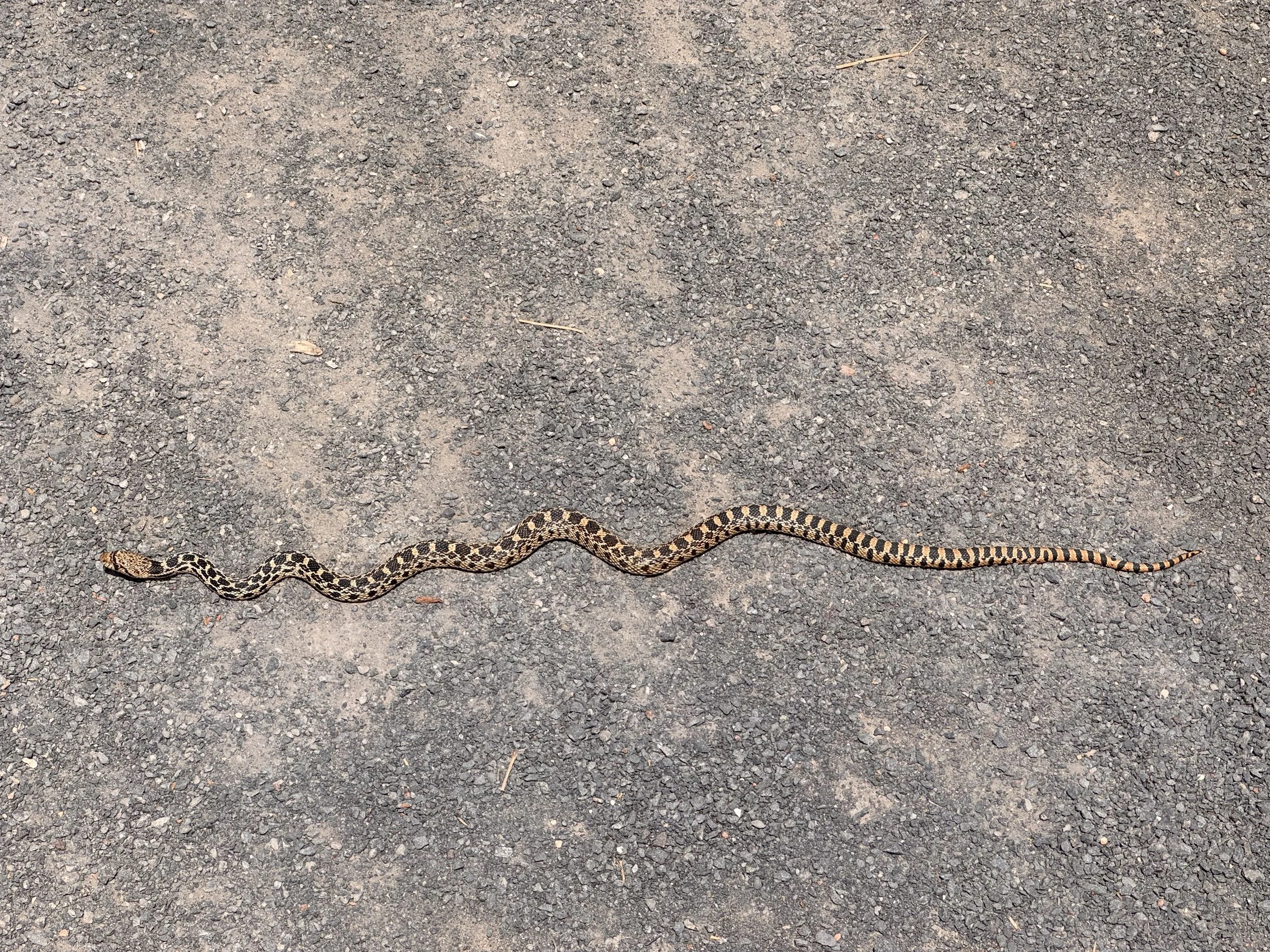
I had to eventually leave Flagstaff. It was a great stop and I loved it all. At 1100 I started the mile road walk back to the AZT urban route which cuts through the town. I’d be taking that instead of the other option which goes around the town to the east. The other route had a 36 mile no camping zone so I’d have a very long day or hitch hike back in. Neither sounded good, so I opted for the urban route which is still an official option. The walking was easy and fast, taking me through Buffalo Park. Apparently it was a sort of amusement park mid last century. The buffalo they kept there were unruly and ate a bunch of gardens. That combined with a harsh winter had them closing the place down. At least that’s what I remember the sign saying. I saw a little gopher snake in the park and lots of people there for day use.
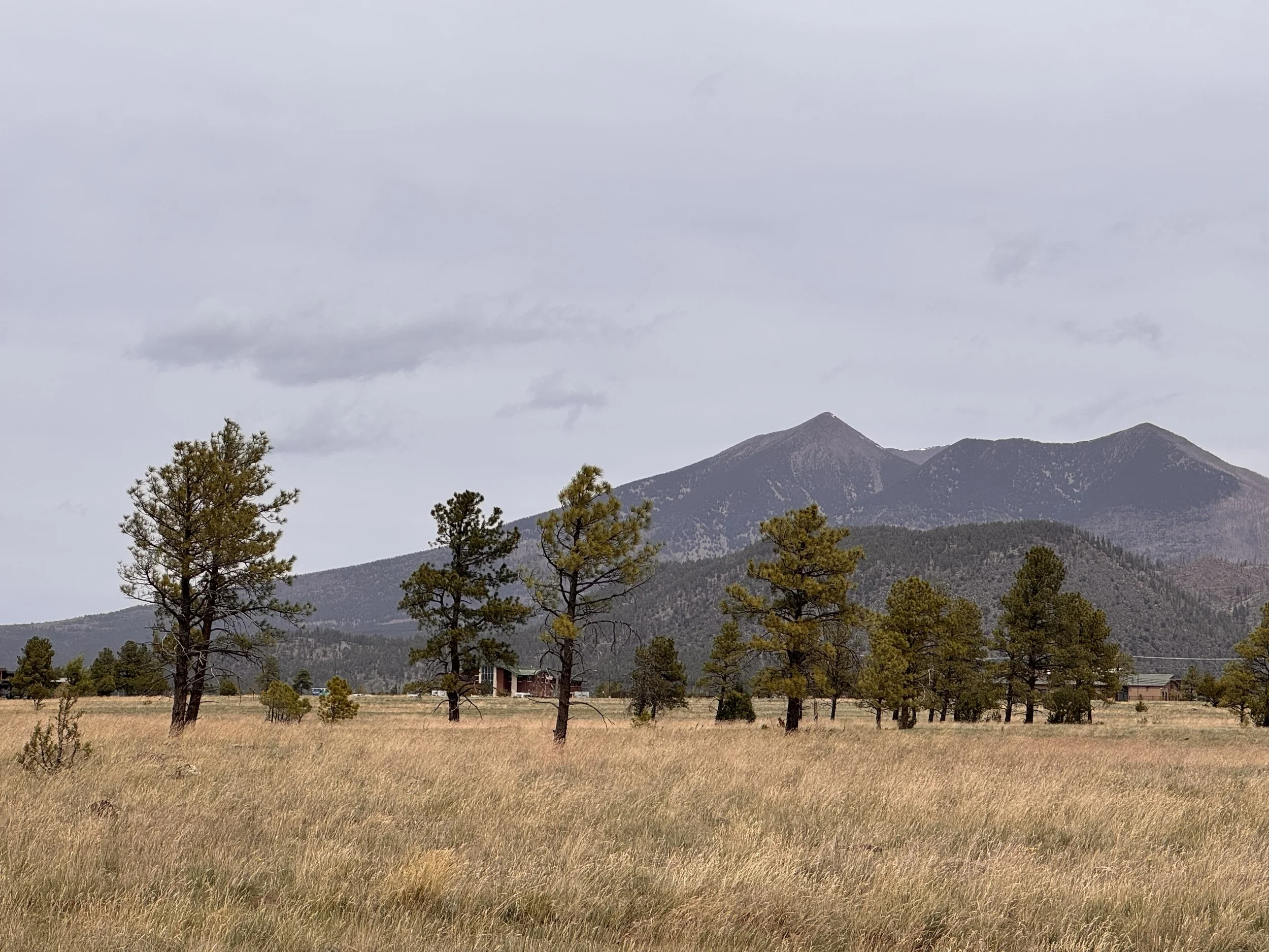
There were also good views of Humphreys Peak which I planned to summit the next day depending on the weather. The forecast wasn’t looking good. Cold and wet. I had enough food I could spend the day lounging in my tent if it was too nasty, so that was my backup plan.
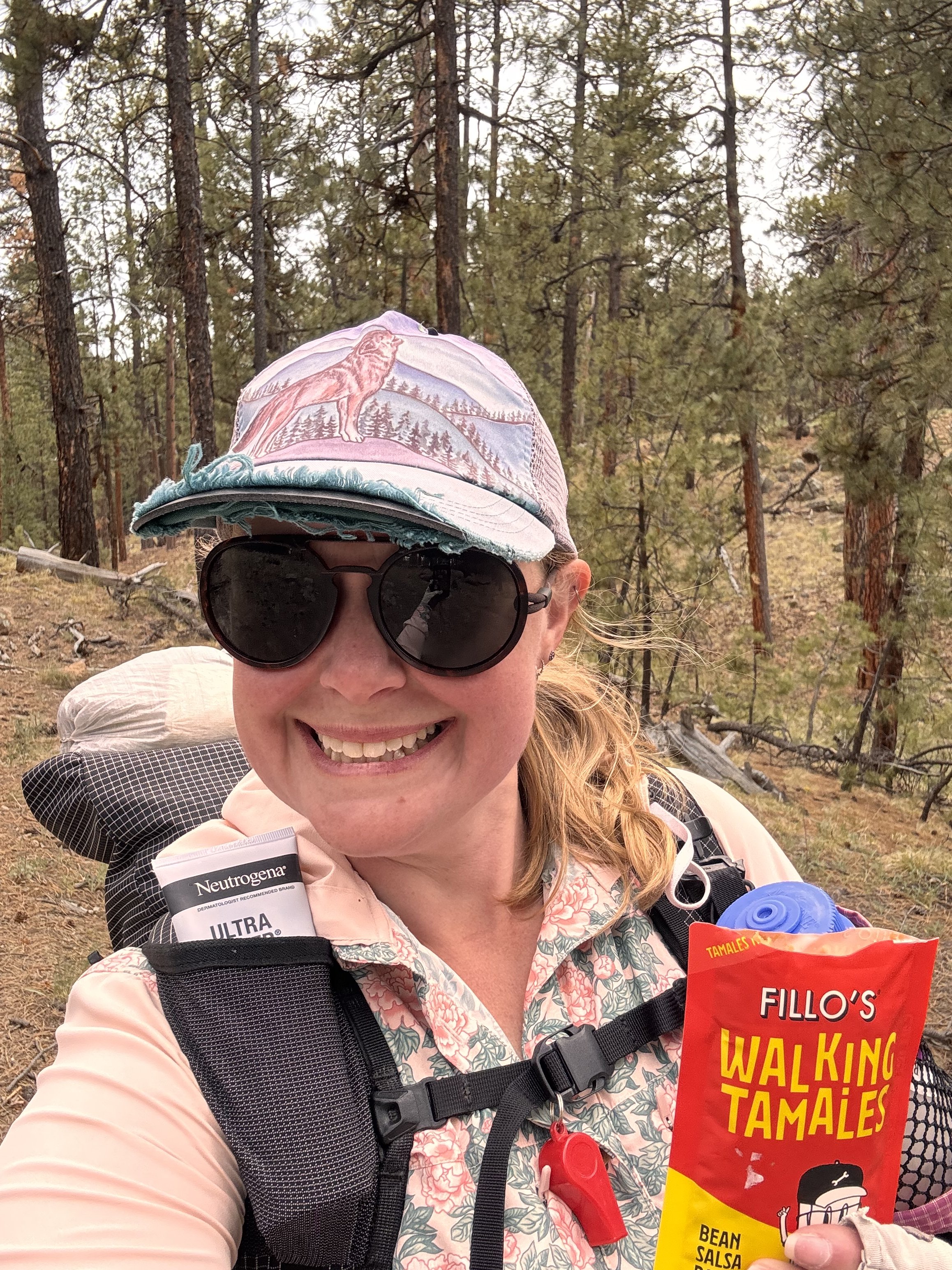
The trail left the park and began a slow gradual climb up to the base of the mountain. I had about 2000’ of climbing before the junction to the trail for the mountain, which would be another 3600’ up. But that was a tomorrow problem. This climbing was easy and I ate a walking tamale and one of the canyon cracks while heading up.
I passed the 600 mile marker, but since my route was shorter, I’d actually hit it after I completed Humphreys.
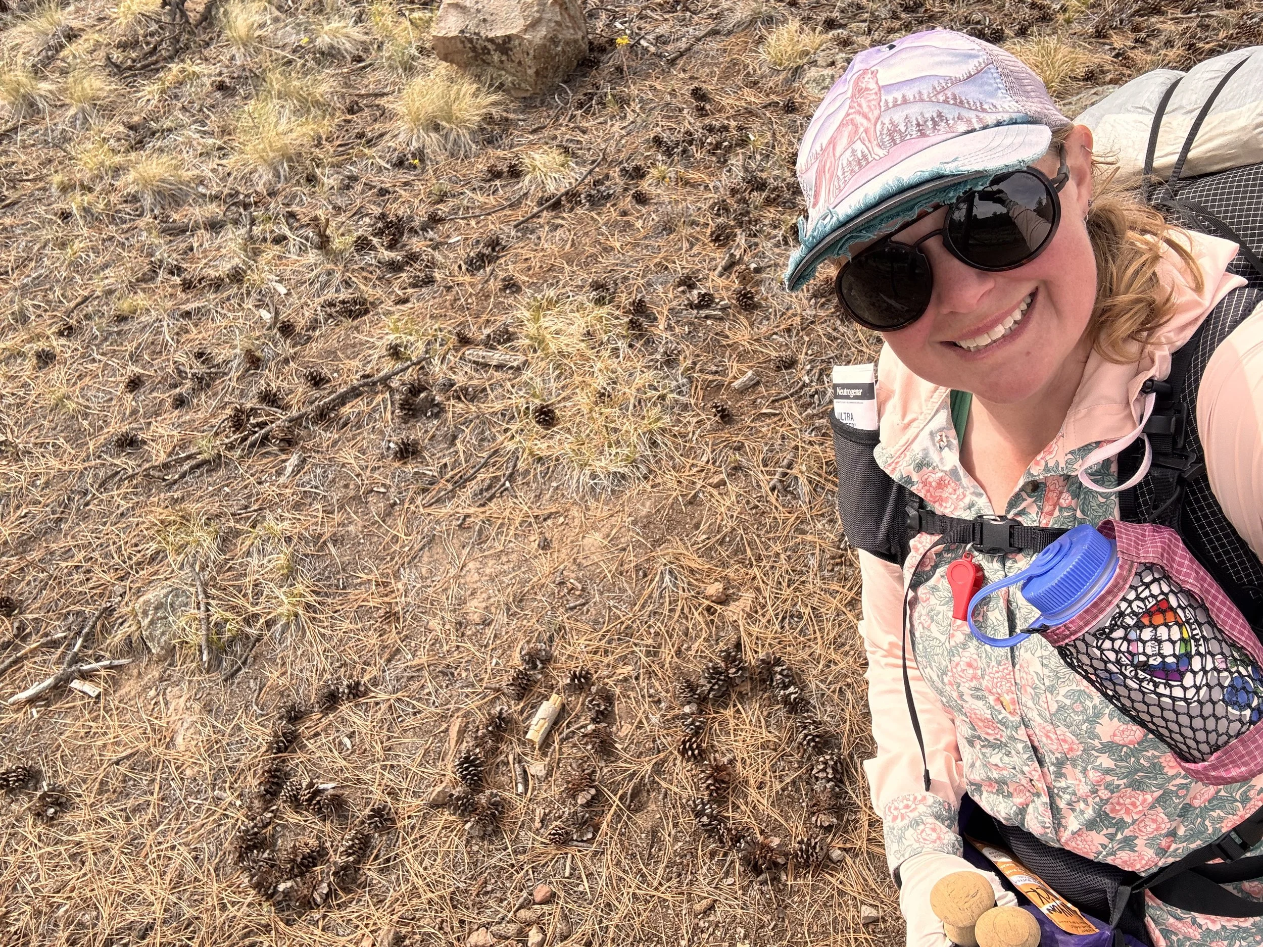
I didn’t make any stops and I had to carry all my water for the evening up from town and the park. Near my usual quitting time, I pulled off trail and found a nice spot to set up camp for the night. After a dinner of couscous and chocolate, I settled in for a probably cold night.
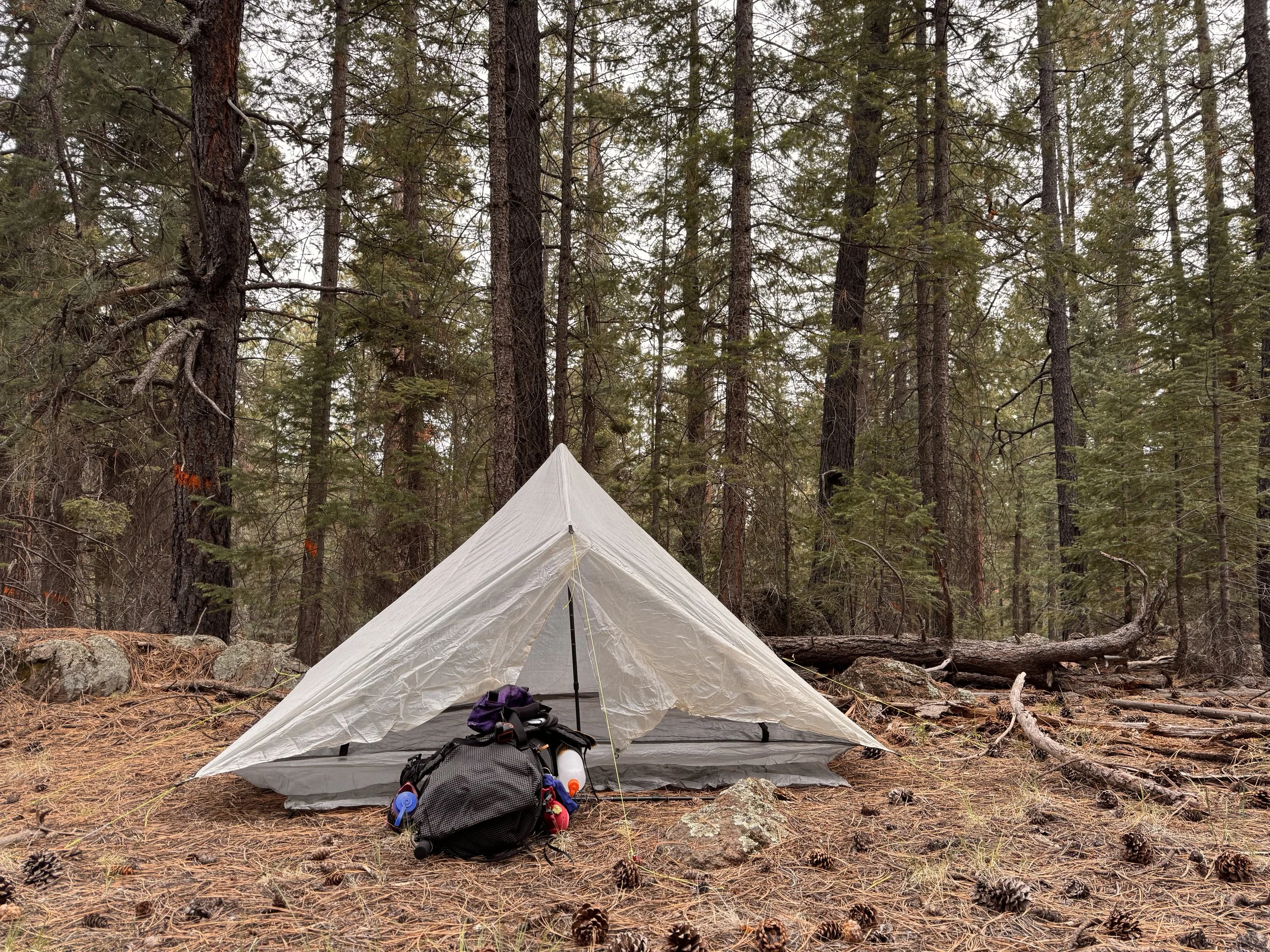
The night didn’t end up as bad I thought it would. It was still cold, but not low 20s, at least not in my tent. I laid around a bit, but the weather was looking nice. It was sunny with blue skies. I pulled up a forecast and saw the bad weather would start around 1300. In Falgstaff, they were calling for an inch of snow. I’d be much higher so possibly more and colder at the top. I had time to attempt a summit. I packed up and was out by 0700 cursing myself for not starting sooner to have a larger buffer on the weather. I grabbed water at a tank (aka pond) before hitting the turn off for the climb. The approach led to the ski resort and through a pretty aspen forest.
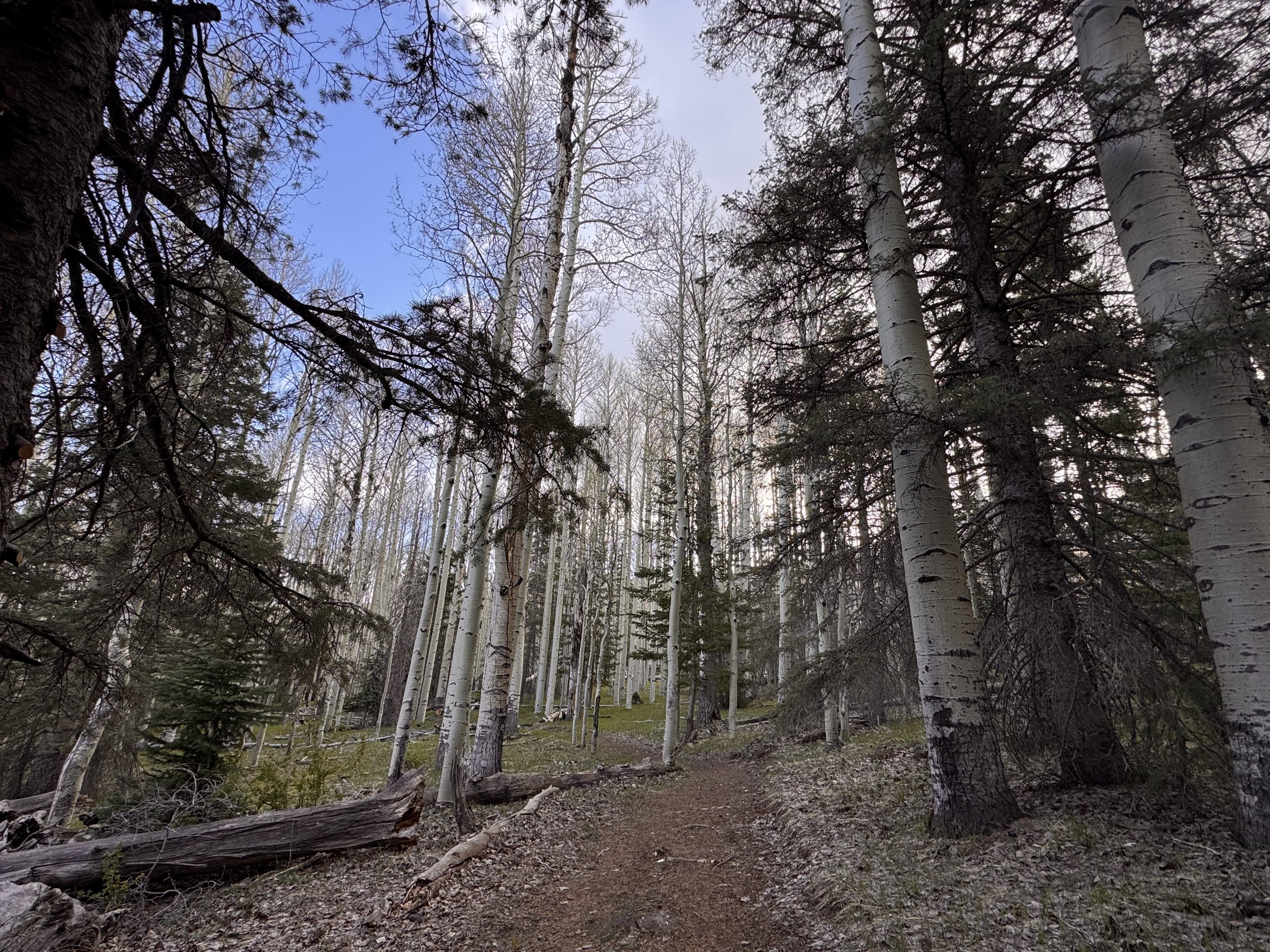
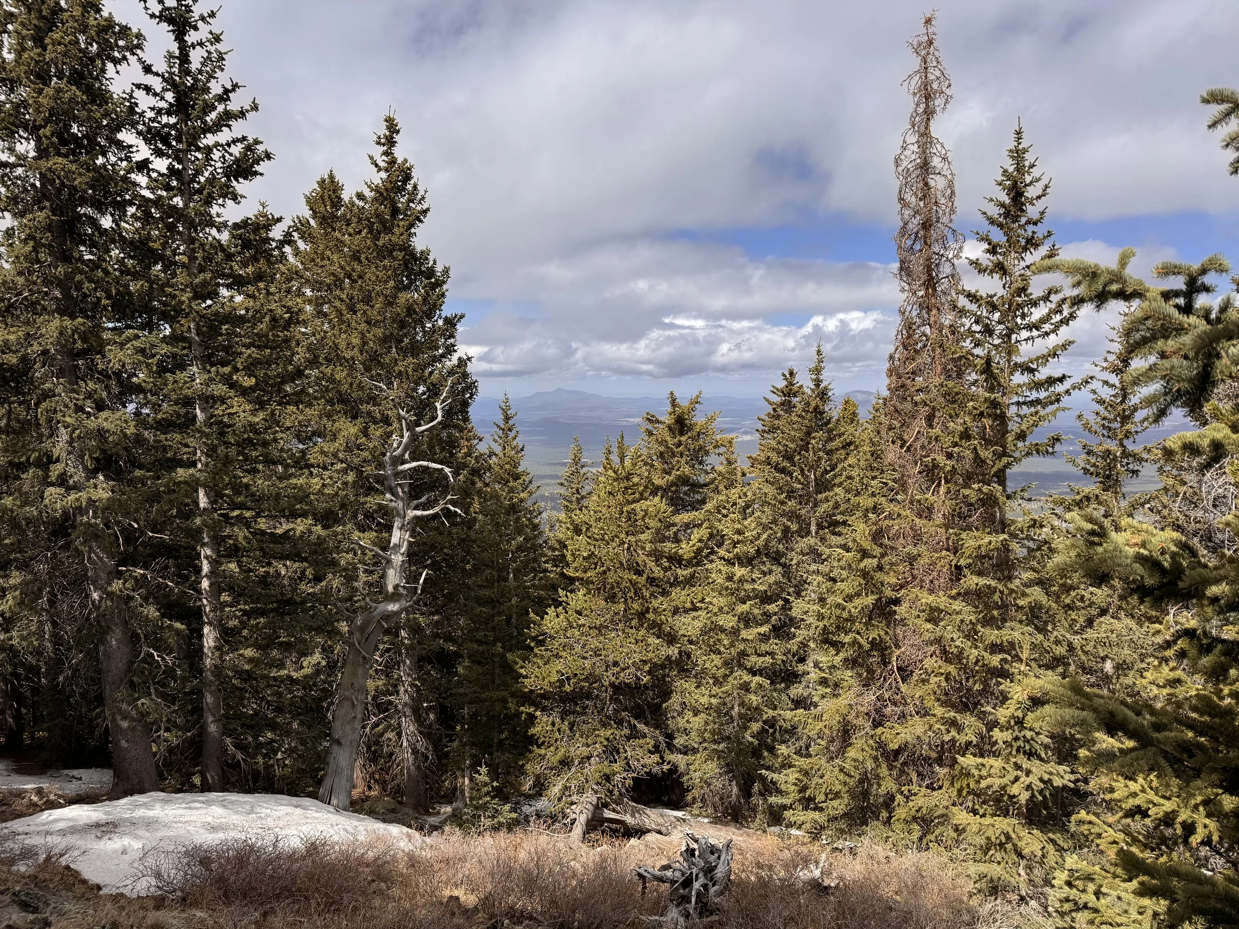
The climbing wasn’t too bad. The trail was rocky and had a lot of blow downs (downed trees) initially but got smoother farther up. I was moving slowly. I had my full pack with my which included 6 days of food since I had time to kill before the Grand Canyon opens. Occasionally I’d get glimpses through the trees of the views the hike promised.
The whole day was pretty cold, below freezing. The trail had lots of frozen mud and some interesting ice formations where the ice gets squeezed out of the ground when it freezes.
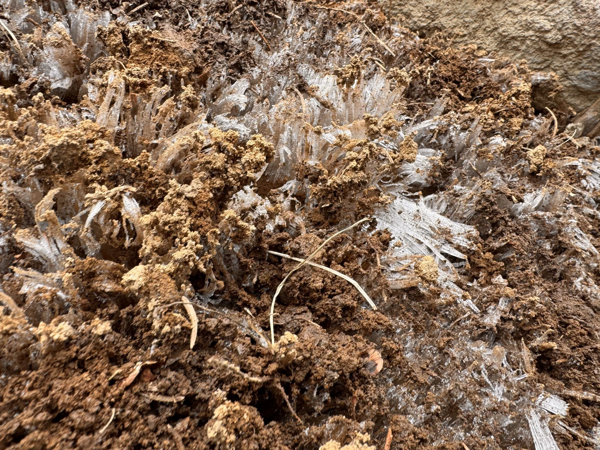
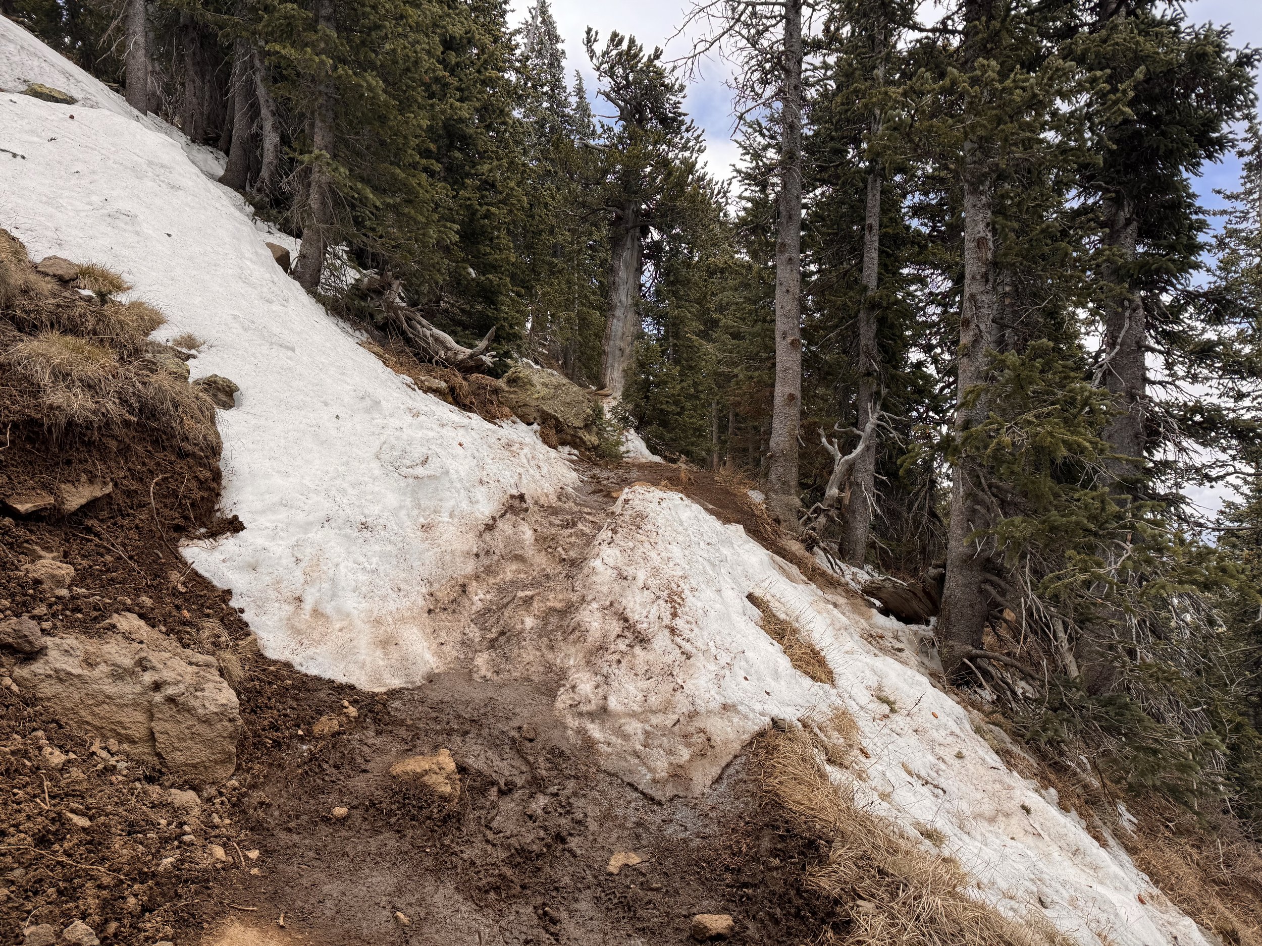
There was still some lingering snow patches as well that were frozen solid. Luckily the top layers on most had melted and refrozen with enough dirt and pine duff that it was more like walking on nonskid than ice. After a few hours of climbing I reached the tree line. I had to put on my wind pants. It was going to be cold in the exposed areas.
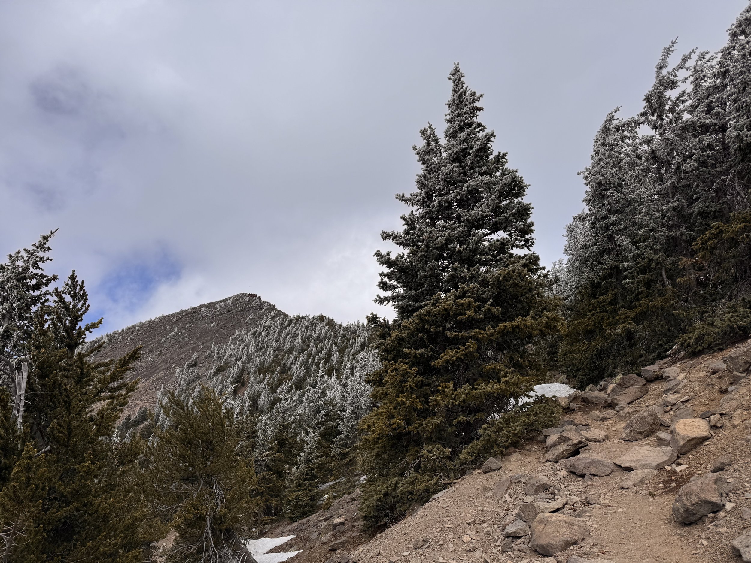
I kept my water filter in my pocket. It was brand new since I wasn’t sure if the last one froze. I didn’t want the new one to as well. Shortly after getting into the wind, my fleece also went on. The layers were enough to get me through the exposed parts. The views were beautiful. I couldn’t see too far out with the impending storm. The clouds would occasionally block all my views.
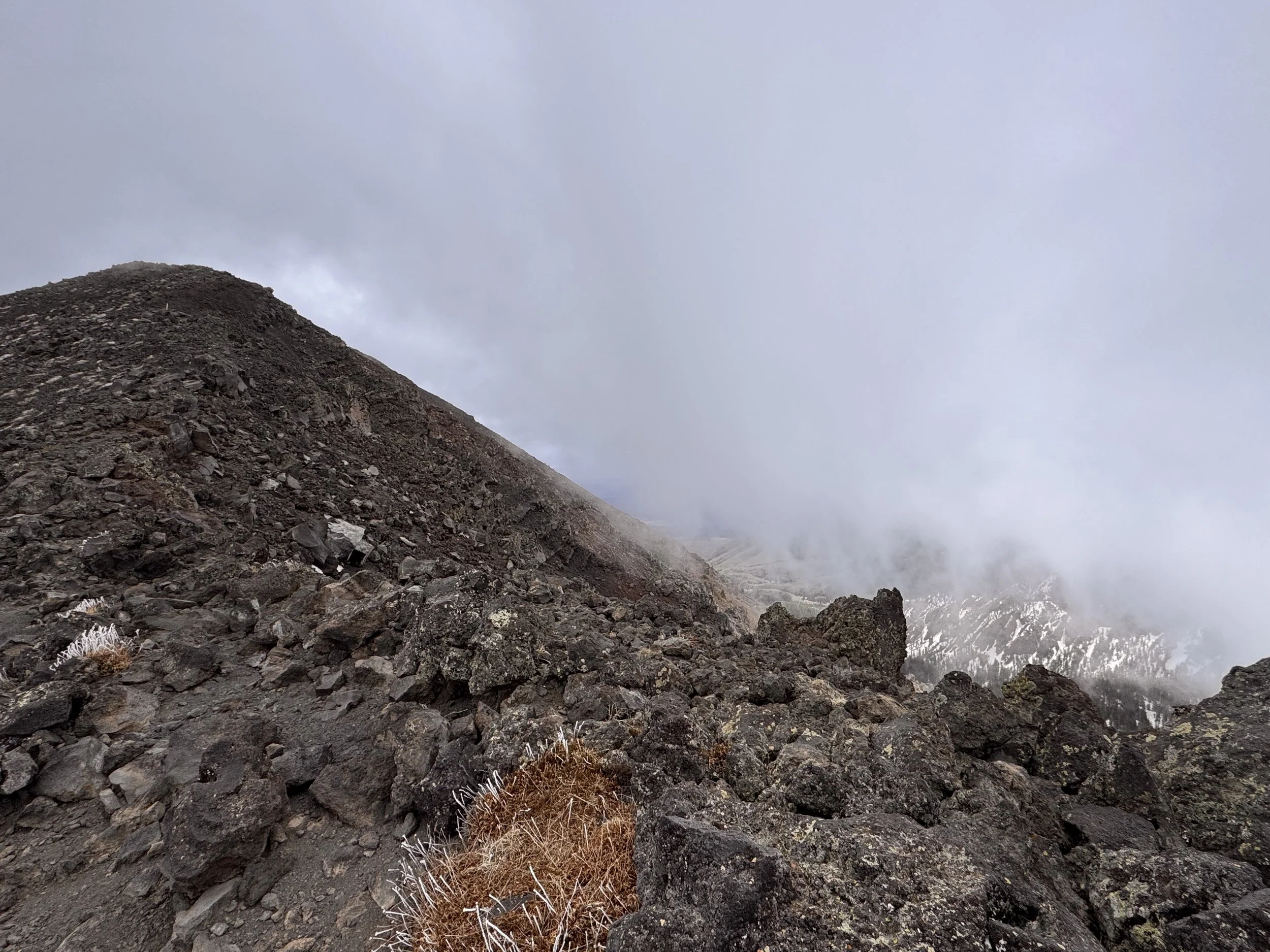
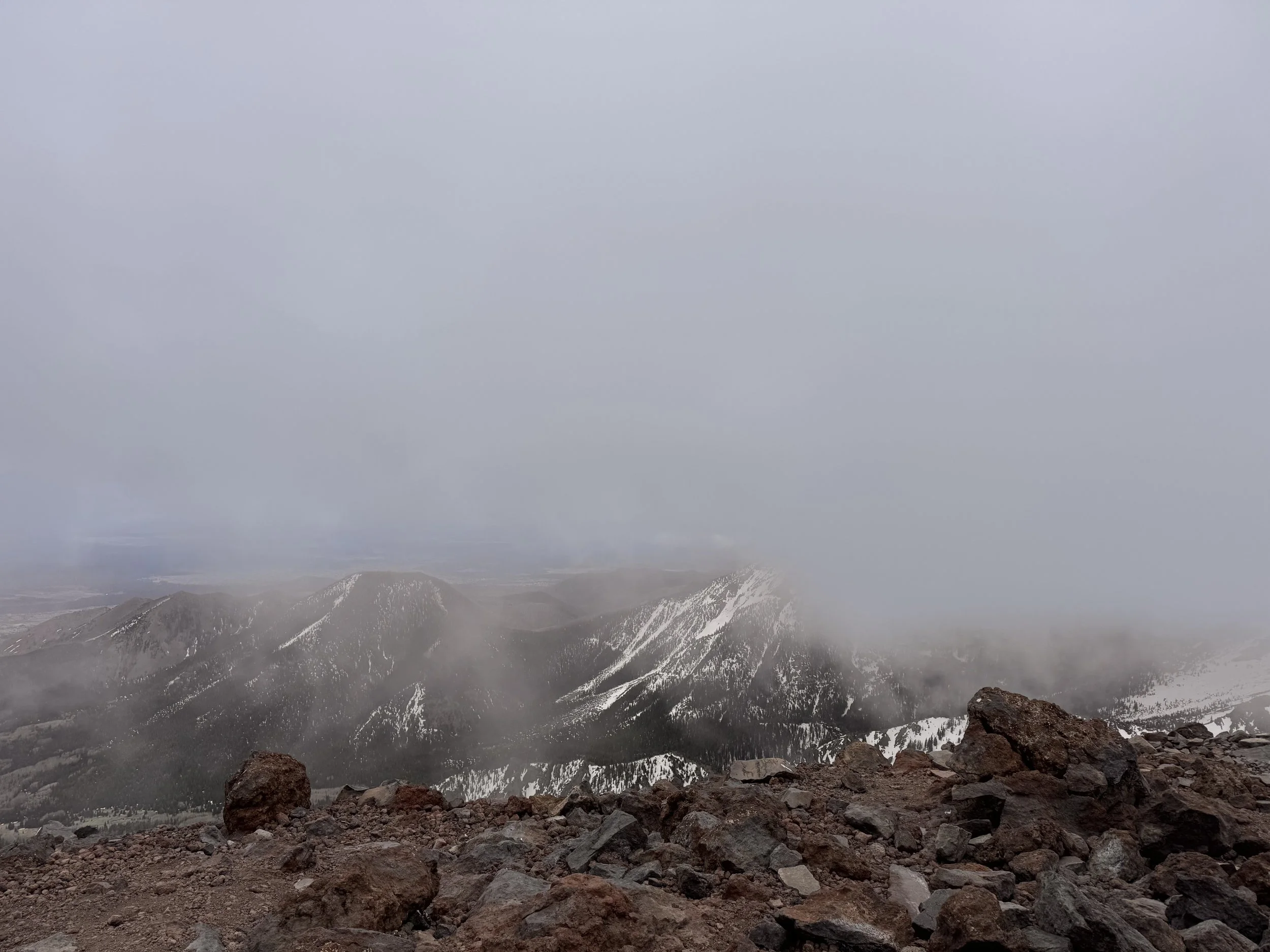
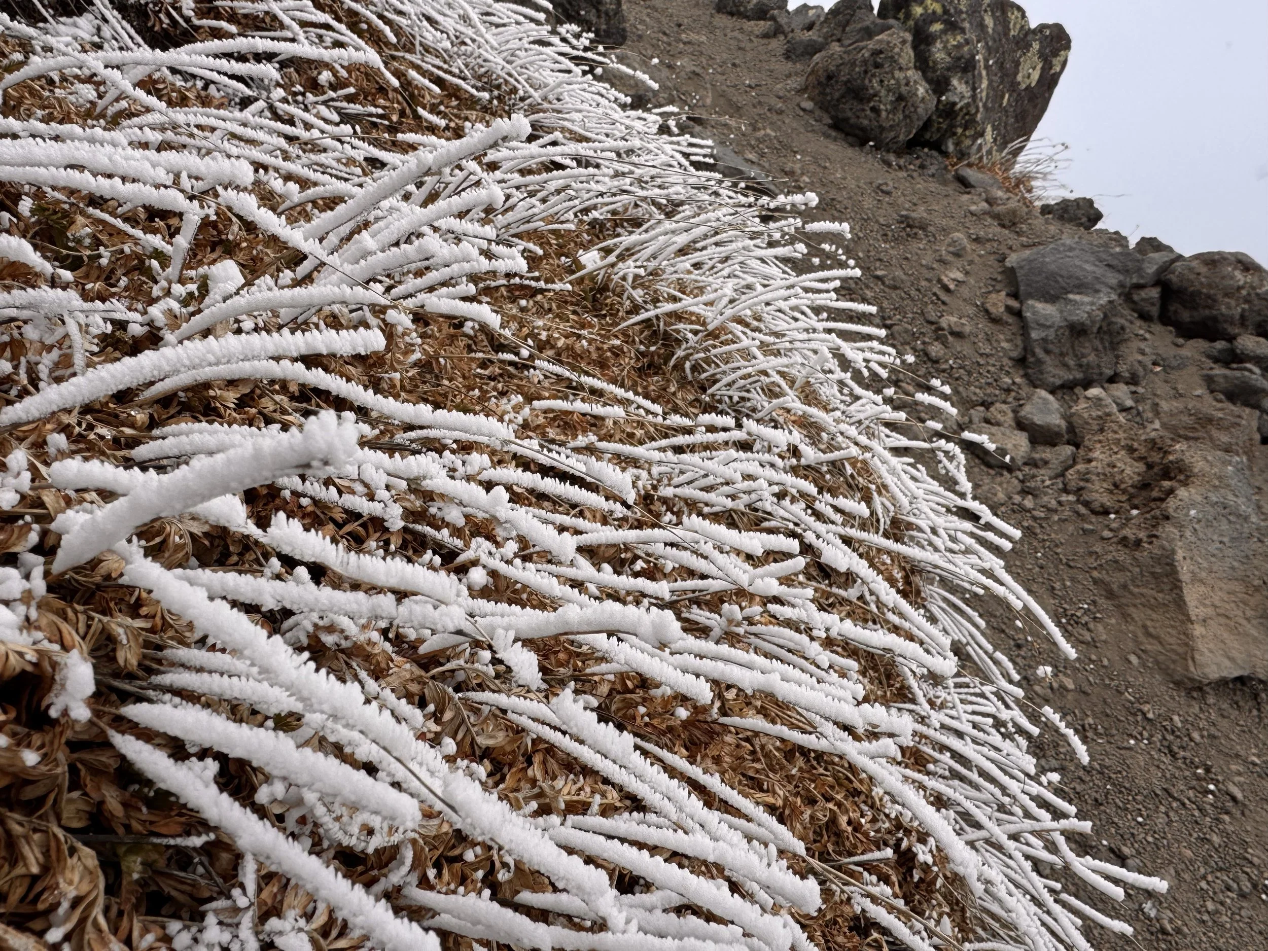
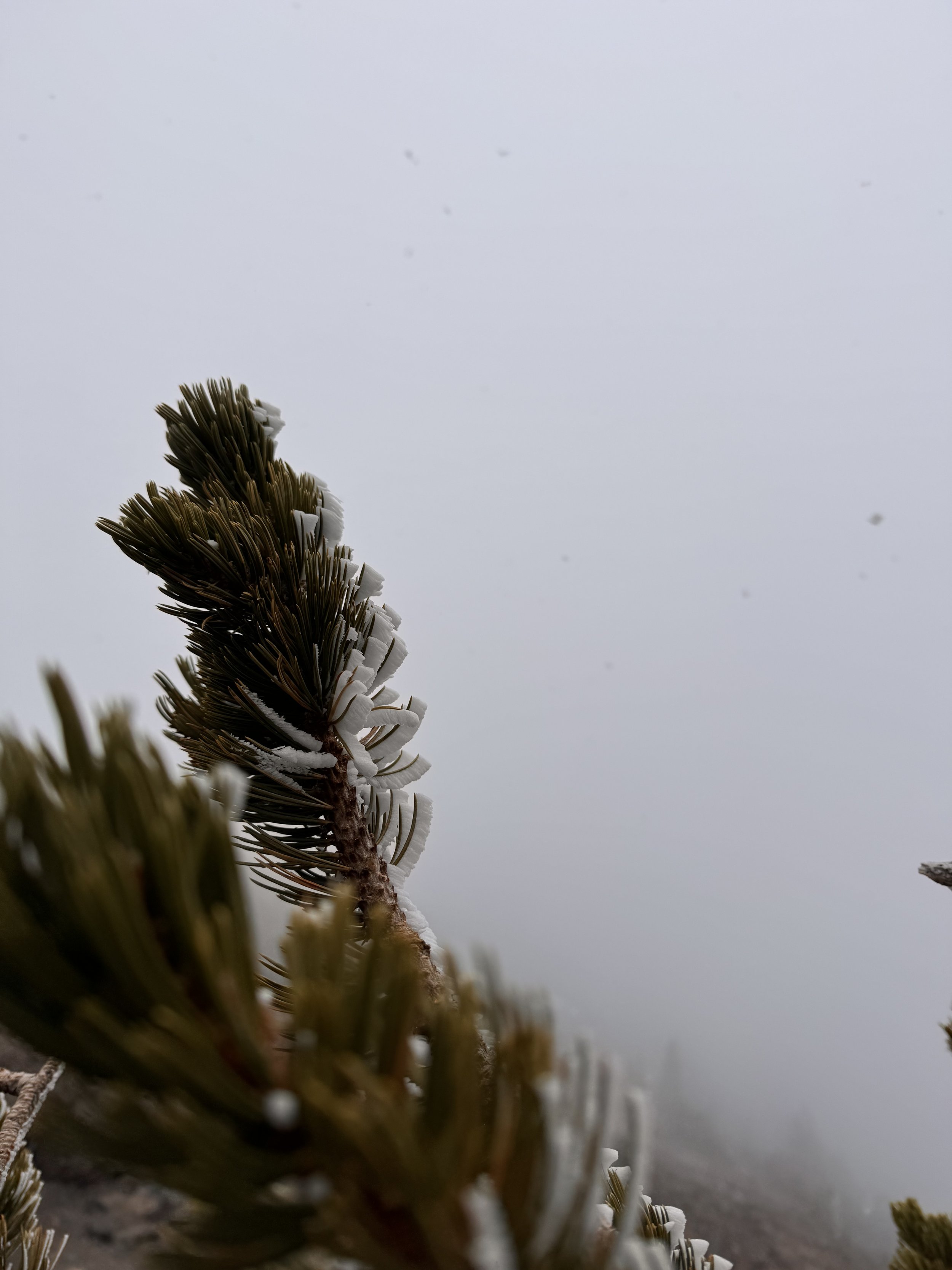
The small plants and few trees up that high were covered in a layer of snow that looked like it blew sideways onto them.
The rocky tops were beautiful. I had four small summits to hit before I got to the top.
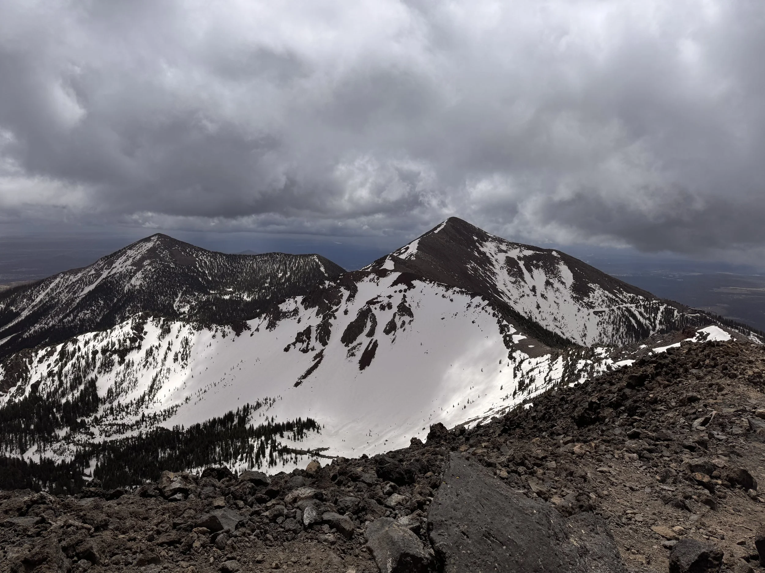
I reached the top around 1200. The snow started almost immediately. I spent a few minutes at the summit taking pictures and putting on my puffy jacket while huddled behind the rock wall.
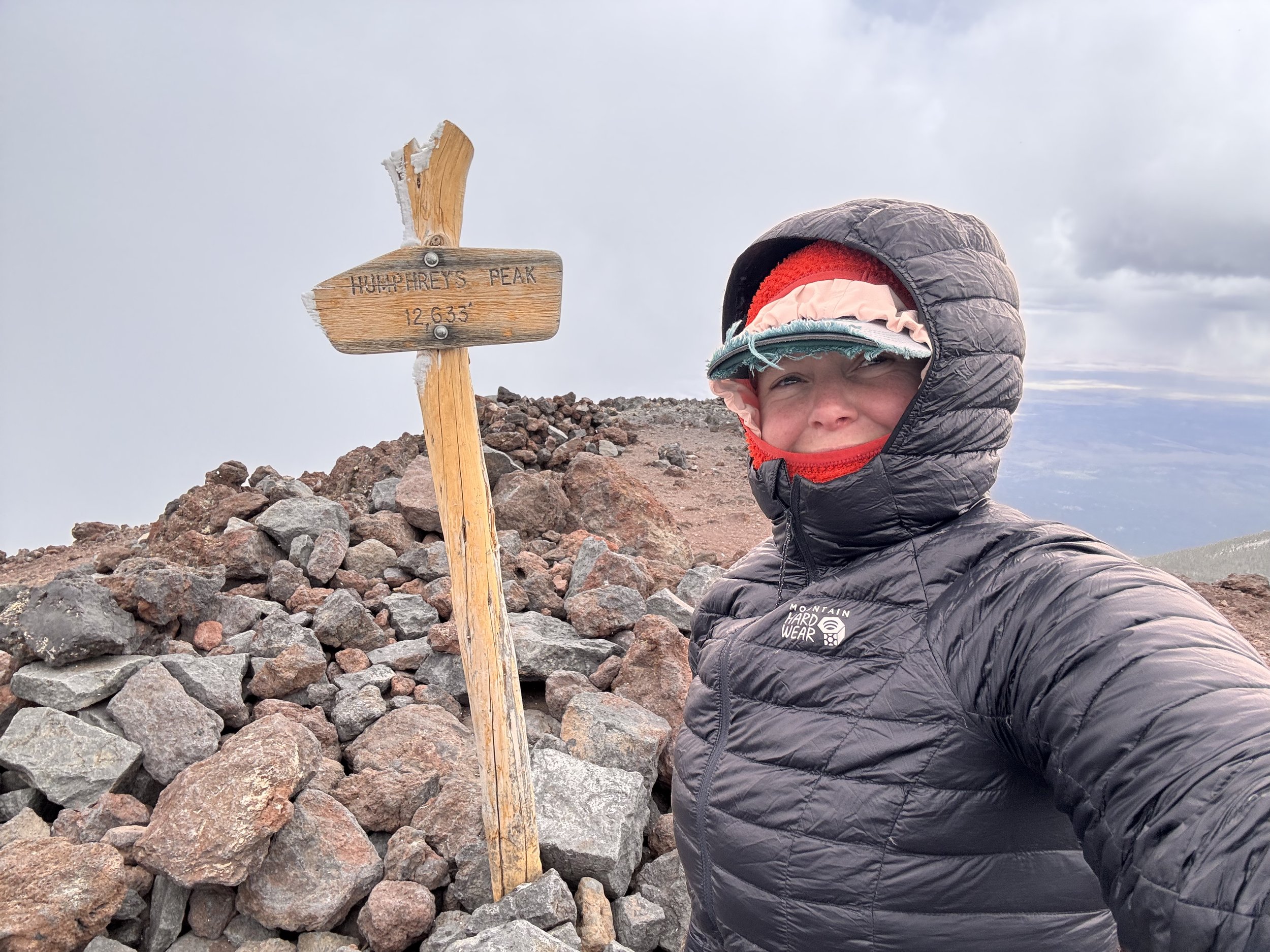
After a short break, I began the descent. The descents are usually the most dangerous part of climbing a mountain. Luckily this one was pretty easy and not technical at all. There weren’t any ice patches in scary locations and if I were to slip or trip, the consequences were pretty low. I wouldn’t plummet off a cliff. It was cold though and the snow was increasing.
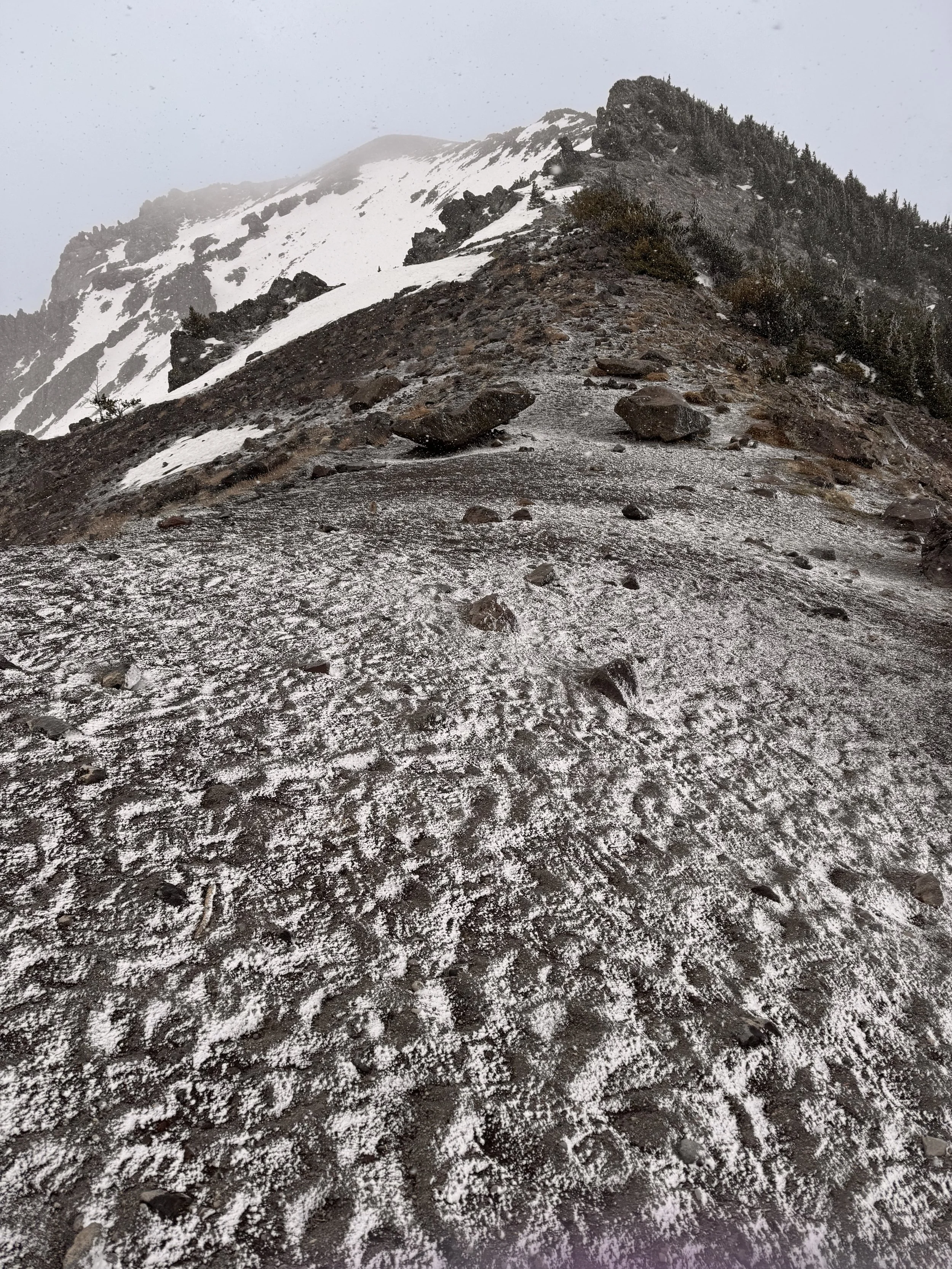
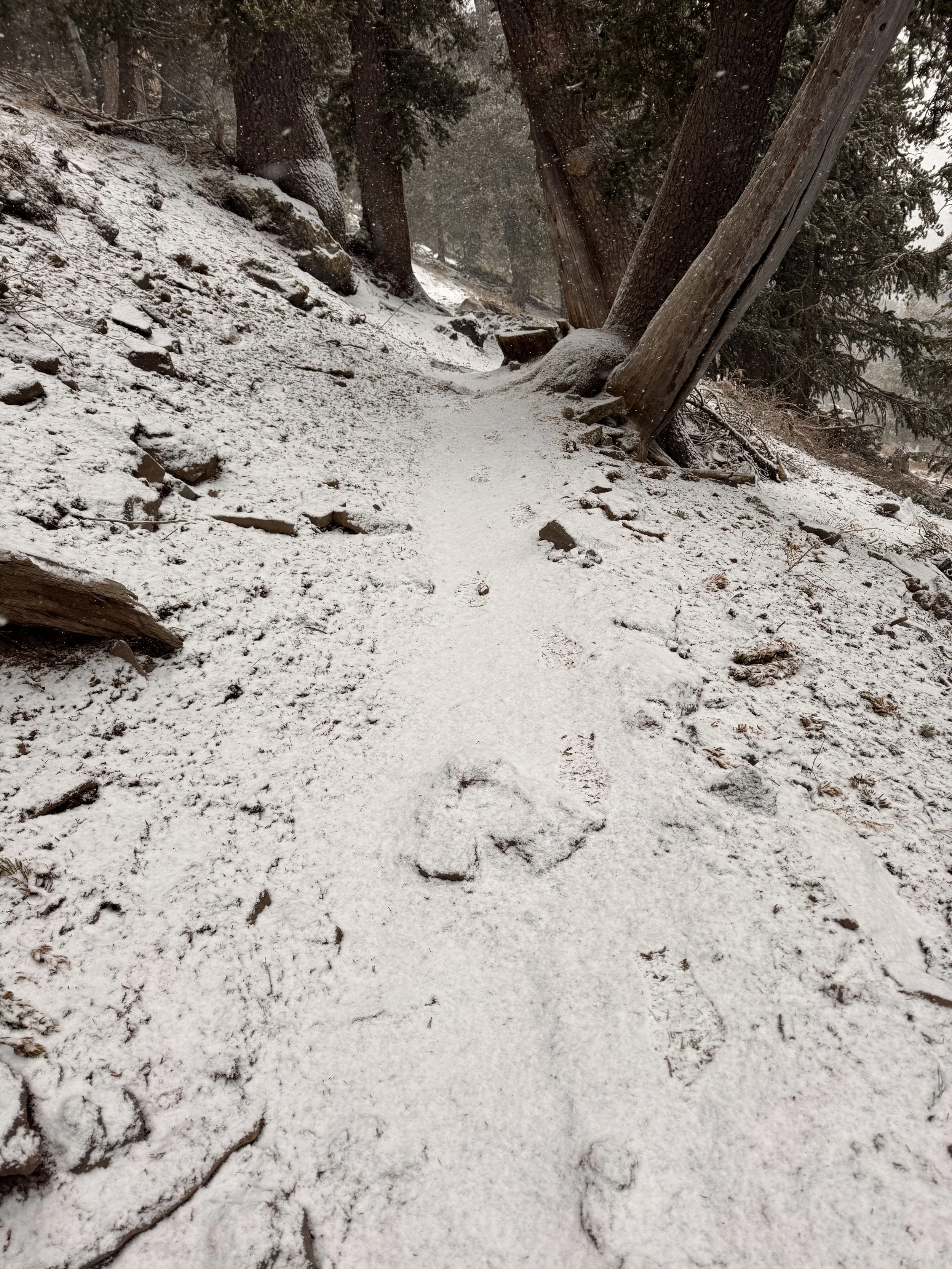
Before I got to the tree line, it was coming down hard enough that I added my rain cape/pack cover to what I was wearing to stay as dry as possible. The evening was supposed to be equally cold. I could always bail out to the road and get to a hotel if it got too bad, but I wanted to stay on trail.
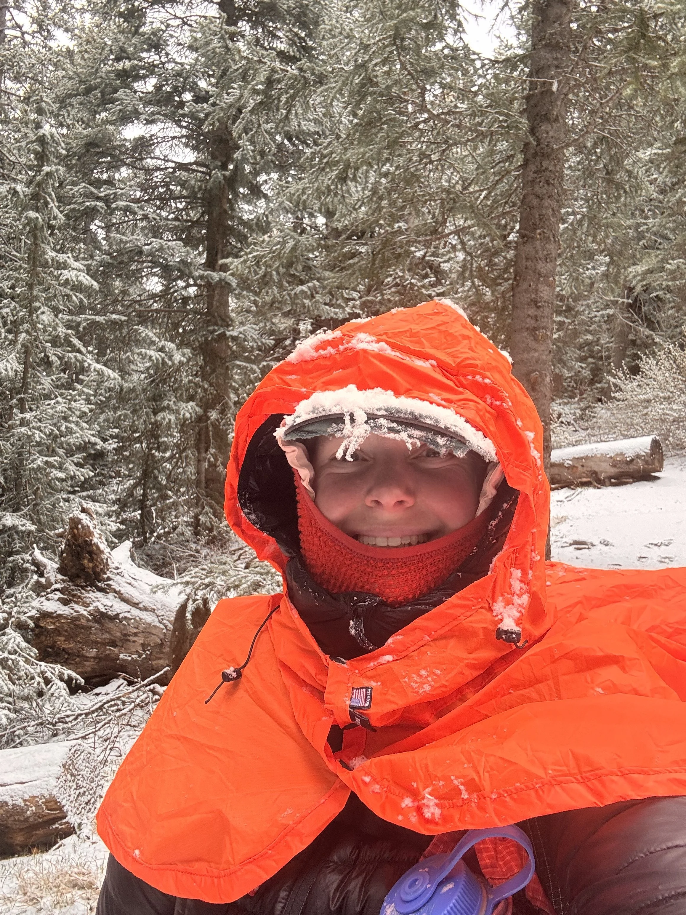
Back in the tree line there was enough snow on the ground to make the rocks and formerly nonskid ice patches slippery. I kept plodding along at a good pace despite the weather. I reached the ski resort without incident. Now that I was on easier terrain and didn’t need my trekking poles for balance, so my umbrella came out to keep the snow off. I didn’t want my puffy wetting out. It was crucial for my sleep system if it would be in the 20s again, which it was supposed to be.
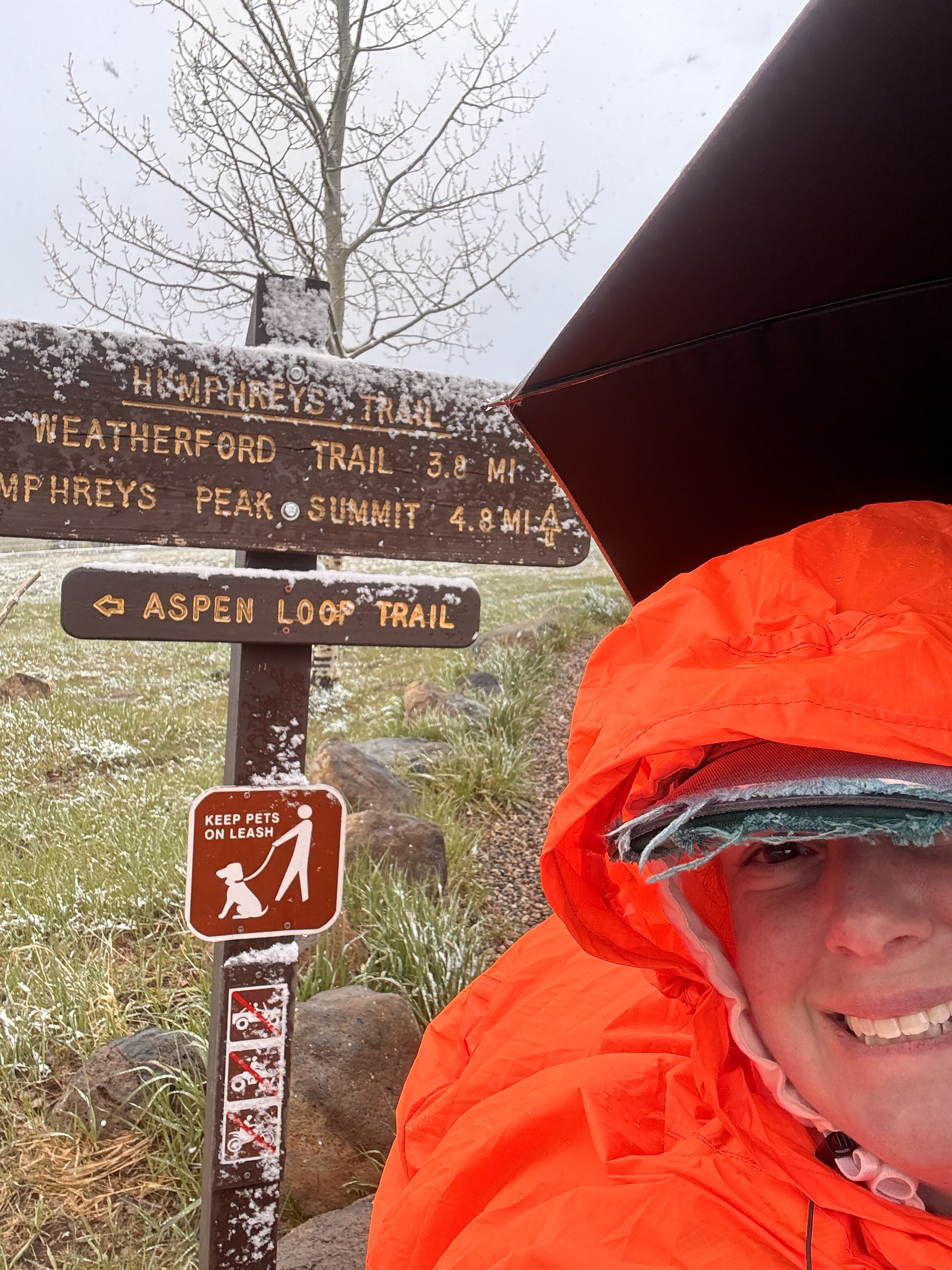
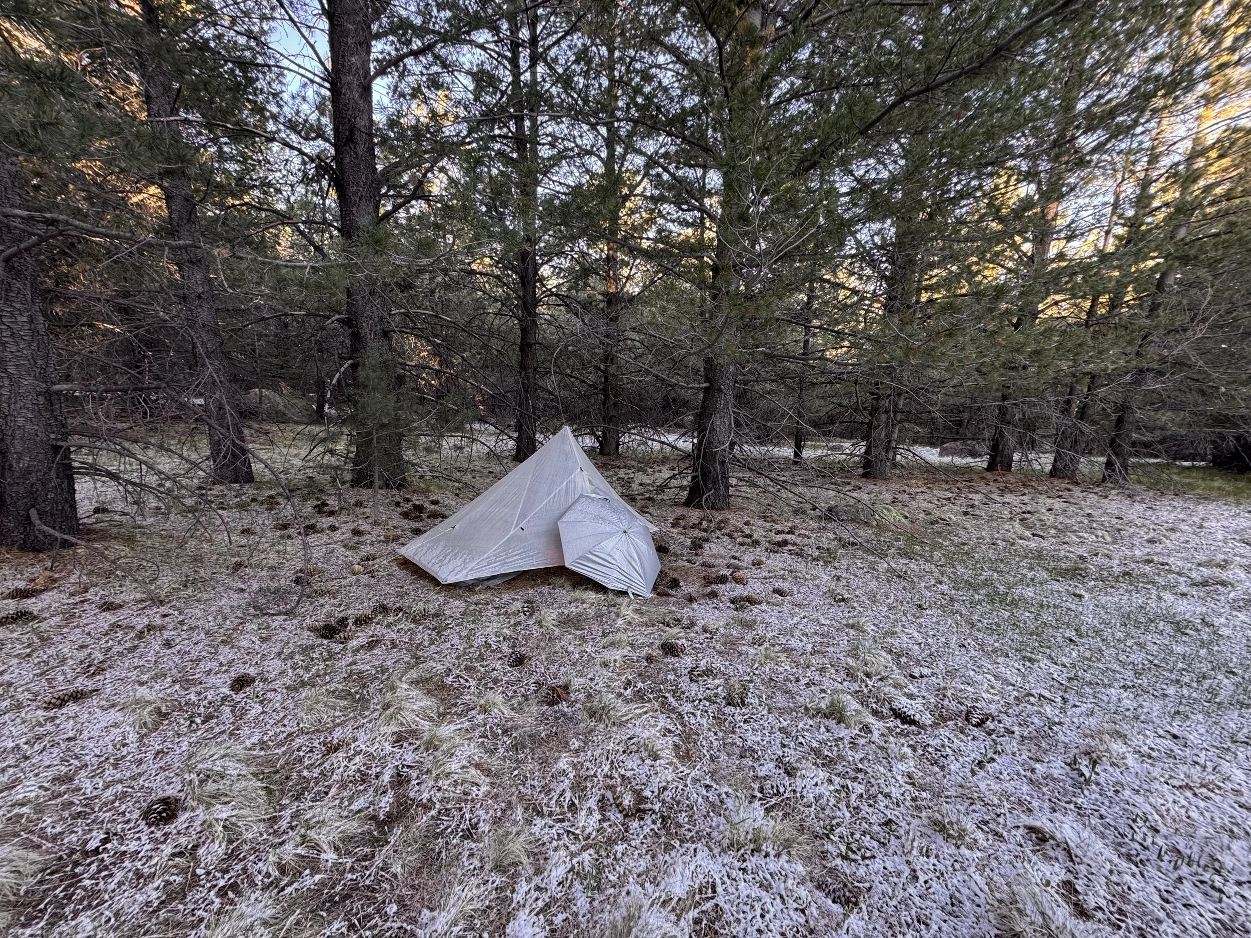
Sadly the resort wouldn’t open for another 4 days so there was no going inside for a hot drink or food. I just kept hiking until I was back on the AZT. I’d call it an early day. The only miles I had planned were the mountain. I found a spot about 3 miles along and set up. The snow was just starting to stick on this area when I got inside. It continued until after sunset.
The story continues with part 2 which will publish on May 21.